Skip to content

Surroundings

RIVERS IN DÜSSELDORF

City horizon, river and banks

Famous neighbours lived long, long ago where clear waters flow from a spring some thirty-five kilometres away from the city. They form a narrow brook that meanders towards the west. Weaving its way through the valley of Neanderthal, it twists and turns on its short journey through pleasant, lush countryside. Nearing its destination, the rivulet widens before disappearing much of the time underground and separating into five arms. Finally, they pour into the majestic river Rhine.

The landscape of the area in Düsseldorf and to the east especially has been shaped and influenced by the waters of the rivers that flow by. The original settlement was founded at the junction of the rivers Rhine and Düssel.

The Rhine

At 1,320 kms or 820 miles in length, the Rhine is one of the longest rivers and perhaps the most important waterway in Europe. It begins its path up in the Swiss Alps from the waters of Lake Tuma and Rheinquellhorn. The Rhine feeds Lake Constance on the frontier of Liechtenstein and Austria and then picks up speed before crossing the border into Germany at the city of Basel.

Heading north, the river forms a natural border to France as far as Karlsruhe. After being strengthened by the flows of the Neckar at Mannheim, it gathers the waters from the Main in Mainz and the Nahe at the the small village of Bingen just west of Frankfurt. The Rhine then makes a sharp turn and meanders further north towards Koblenz, where the Mosel joins it from the west and on to Duisburg to be joined by the Ruhr from the east.

Centuries of battles destroyed most of the castles, yet some of the most famous vineyards in the world such as the Pfalz, Alsace, Rheinhessen or Rheingau still exist along the riverbanks. Several stories have been written and songs sung to celebrate the romance of the Rhine. Flowing through five countries, it finally releases its waters into the North Sea south of Rotterdam in The Netherlands.

The Düssel

The river Düssel, at 46 kms and 29 miles in length, helped form the Neandertal valley in prehistoric times. The famous Neandertal Man, long thought to be the earliest connection to modern man, was found here in 1856.

This small river also gave its name to the village settlement that was founded at the point where it flows into the Rhine. Düsseldorf literally means village on the Düssel.

It splits into several smaller tributaries that flow through various districts of the city, in part above ground but mainly through underground pipes. The most visible stretches of the Düssel are through the middle of a calm, tree-lined stretch of the Königsallee and proudly along a tranquil curve around the Köbogen and Hofgarten.

By Vincent Green, Aug 7 2013

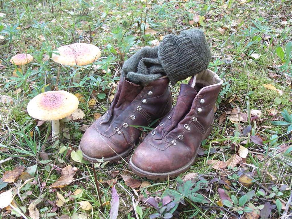
HIKING IN DÜSSELDORF

Many open spaces entice hikers into the surrounding countryside. Try heading out to the wonderfully peaceful and natural, reclaimed spaces along the Dutch border. The Ruhr region to the east provides more inspiring landscapes with hills and forests.

River, beach and couple walking

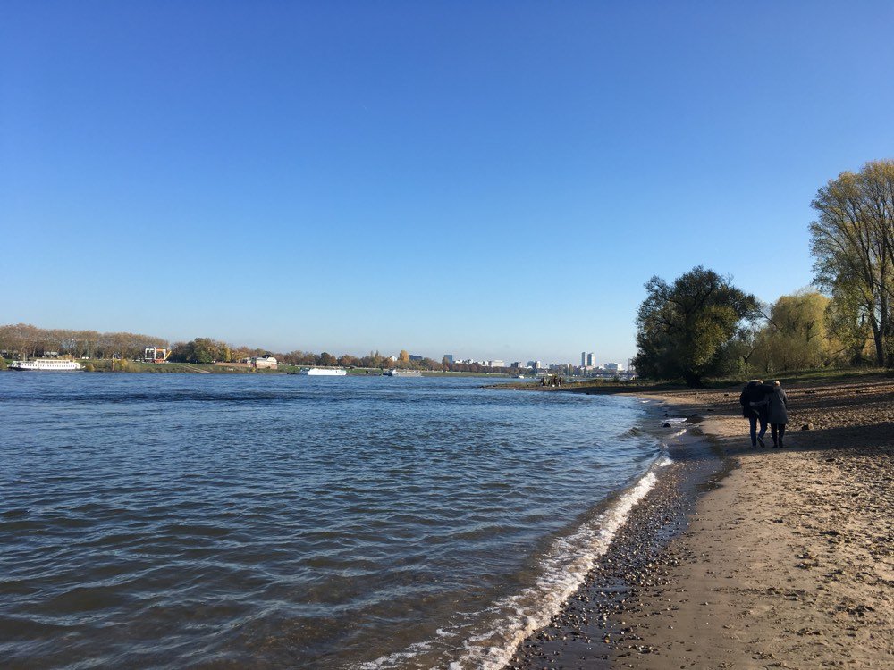
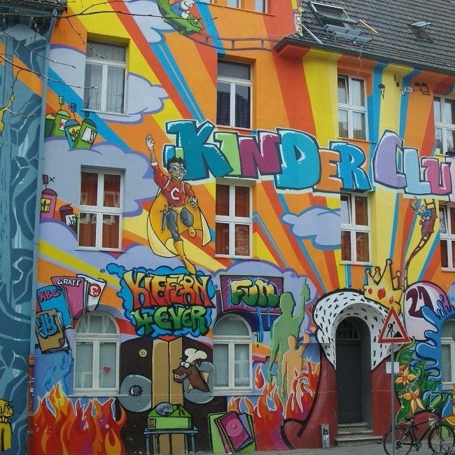
WALKING IN DÜSSELDORF

A great way to get to know Düsseldorf is to take an inspiring and rewarding walk, allow impressions to cause a pause, interact and allow details to remain more memorable. Admiring quaint side streets, strolling the promenade, the riverside or numerous woodlands bring joy to the soul.

Public Transport

The public transport system in Düsseldorf is safe and normally efficient. A dense network of trams, Strassenbahn, above and below ground as well as buses serve the city and its suburbs. Links via the S-Bahn train system reach further outlying areas and some neighbouring communities.

Tram doors on subway